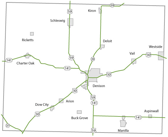
Crawford County Maps Topics: County Maps List items for Crawford County Maps City and County Maps Crawford color mapCrawford black/white mapCrawford DGN MapCrawford DWG MapCity listCounty listCity traffic mapsCounty traffic maps City Maps in Crawford County Arion mapAspinwall mapBuck Grove mapCharter Oak mapDeloit mapDenison mapDow City mapKiron mapManilla mapRicketts mapSchleswig mapVail mapWestside map Federal Functional Classification Maps Crawford County FFC mapDenison FFC mapUrban area FFC listCounty FFC list Farm to Market Maps Crawford County FM mapCounty FM list Help Get help printing PDFs, and find more city and county map information on the Help with Maps page. Areas Served Crawford
Topics: County Maps List items for Crawford County Maps City and County Maps Crawford color mapCrawford black/white mapCrawford DGN MapCrawford DWG MapCity listCounty listCity traffic mapsCounty traffic maps City Maps in Crawford County Arion mapAspinwall mapBuck Grove mapCharter Oak mapDeloit mapDenison mapDow City mapKiron mapManilla mapRicketts mapSchleswig mapVail mapWestside map Federal Functional Classification Maps Crawford County FFC mapDenison FFC mapUrban area FFC listCounty FFC list Farm to Market Maps Crawford County FM mapCounty FM list Help Get help printing PDFs, and find more city and county map information on the Help with Maps page. Areas Served Crawford
Help Get help printing PDFs, and find more city and county map information on the Help with Maps page.