Maps
Explore cartography and traffic data maps across the State of Iowa, care of the Iowa Department of Transportation.
Maps
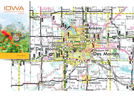
Iowa Transportation Map
The Iowa Transportation Map includes highways, including exit numbers, mileage between exits, points of interest and more.
Browse Maps
-
Order a Map
Order a free folded Iowa state transportation map.
-
Order Transportation, highway, and other maps
Order from a diverse selection of state, county, and city maps in various sizes.
-
Map Data
Understand the data represented by Iowa DOT maps.
-
Map Help & Resources
Get help using Iowa DOT maps.
-
Contact
Contact the maps team.
Traffic Maps
City and county annual average daily traffic maps by county. Updated every four years.
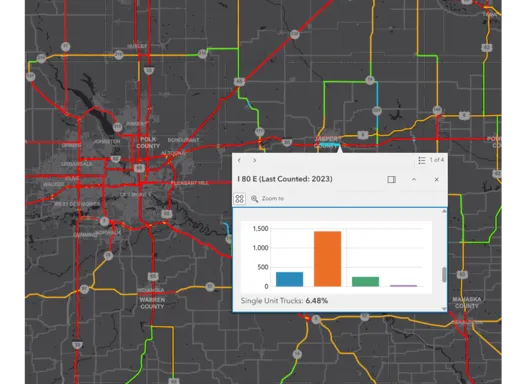
Interactive Maps
Explore DOT's interactive map apps, covering local weather, transportation infrastructure projects, traffic data, bridges, and more.