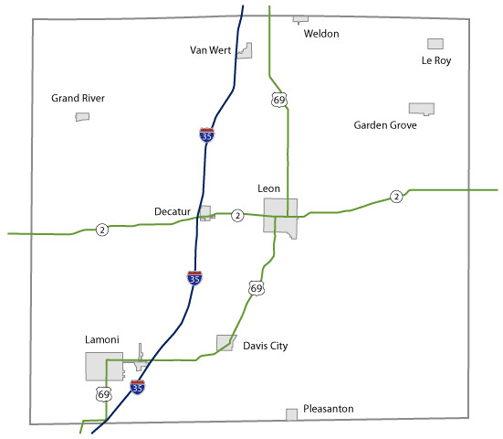
Decatur County Maps Topics: County Maps List items for Decatur County Maps City and County Maps Decatur color mapDecatur black/white mapDecatur DGN MapDecatur DWG MapCity listCounty listCity traffic mapsCounty traffic maps City Maps in Decatur County Davis City mapDecatur mapGarden Grove mapGrand River mapLamoni mapLe Roy mapLeon mapPleasanton mapVan Wert mapWeldon map Federal Functional Classification Maps Decatur County FFC mapUrban area FFC listCounty FFC list Farm to Market Maps Decatur County FM mapCounty FM list Help Get help printing PDFs, and find more city and county map information on the Help with Maps page. Areas Served Decatur
Topics: County Maps List items for Decatur County Maps City and County Maps Decatur color mapDecatur black/white mapDecatur DGN MapDecatur DWG MapCity listCounty listCity traffic mapsCounty traffic maps City Maps in Decatur County Davis City mapDecatur mapGarden Grove mapGrand River mapLamoni mapLe Roy mapLeon mapPleasanton mapVan Wert mapWeldon map Federal Functional Classification Maps Decatur County FFC mapUrban area FFC listCounty FFC list Farm to Market Maps Decatur County FM mapCounty FM list Help Get help printing PDFs, and find more city and county map information on the Help with Maps page. Areas Served Decatur
Help Get help printing PDFs, and find more city and county map information on the Help with Maps page.