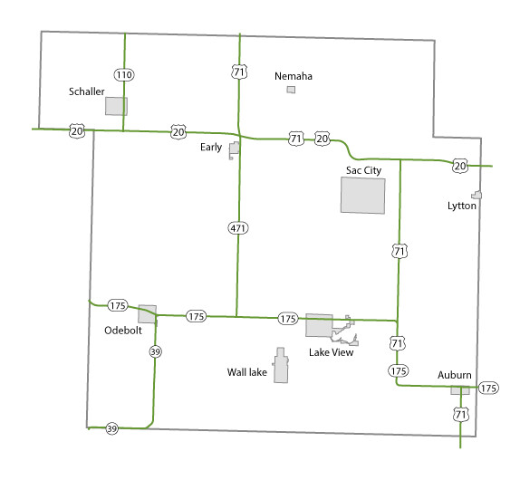
Sac County Maps Topics: County Maps List items for Sac County Maps City and County Maps Sac color mapSac black/white mapSac DGN MapSac DWG MapCity listCounty listCity traffic mapsCounty traffic maps City Maps in Sac County Auburn mapEarly mapLake View mapLytton mapNemaha mapOdebolt mapSac City mapSchaller mapWall Lake map Federal Functional Classification Maps Sac County FFC mapUrban area FFC listCounty FFC list Farm to Market Maps Sac County FM mapCounty FM list Help Get help printing PDFs, and find more city and county map information on the Help with Maps page. Areas Served Sac
Topics: County Maps List items for Sac County Maps City and County Maps Sac color mapSac black/white mapSac DGN MapSac DWG MapCity listCounty listCity traffic mapsCounty traffic maps City Maps in Sac County Auburn mapEarly mapLake View mapLytton mapNemaha mapOdebolt mapSac City mapSchaller mapWall Lake map Federal Functional Classification Maps Sac County FFC mapUrban area FFC listCounty FFC list Farm to Market Maps Sac County FM mapCounty FM list Help Get help printing PDFs, and find more city and county map information on the Help with Maps page. Areas Served Sac
Help Get help printing PDFs, and find more city and county map information on the Help with Maps page.