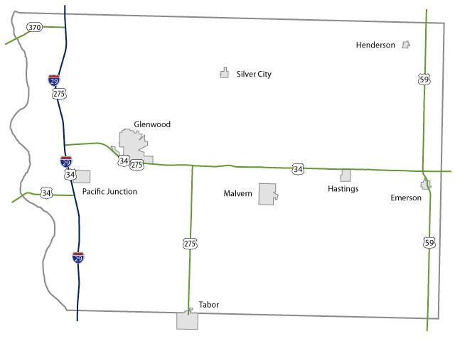
Mills County Maps Topics: County Maps List items for Mills County Map City and County Maps Mills color map (2.11 MB) Archived .pdf Mills black/white map (2.07 MB) Archived .pdf Mills DGN MapMills DWG Map City list County list City traffic maps County traffic maps City Maps in Mills County Emerson mapGlenwood mapHastings mapHenderson mapMalvern mapPacific Junction mapSilver City mapTabor map Federal Functional Classification Maps Mills County FFC map (2.27 MB) .pdf Glenwood FFC map (1.72 MB) .pdf Urban area FFC list County FFC list Farm to Market Maps Mills County FM map (1.07 MB) .PDF County FM list Help Get help printing PDFs, and find more city and county map information on the Help with Maps page. Areas Served Mills Secondary Navigation Menu All Counties
Topics: County Maps List items for Mills County Map City and County Maps Mills color map (2.11 MB) Archived .pdf Mills black/white map (2.07 MB) Archived .pdf Mills DGN MapMills DWG Map City list County list City traffic maps County traffic maps City Maps in Mills County Emerson mapGlenwood mapHastings mapHenderson mapMalvern mapPacific Junction mapSilver City mapTabor map Federal Functional Classification Maps Mills County FFC map (2.27 MB) .pdf Glenwood FFC map (1.72 MB) .pdf Urban area FFC list County FFC list Farm to Market Maps Mills County FM map (1.07 MB) .PDF County FM list Help Get help printing PDFs, and find more city and county map information on the Help with Maps page. Areas Served Mills Secondary Navigation Menu All Counties
Help Get help printing PDFs, and find more city and county map information on the Help with Maps page.