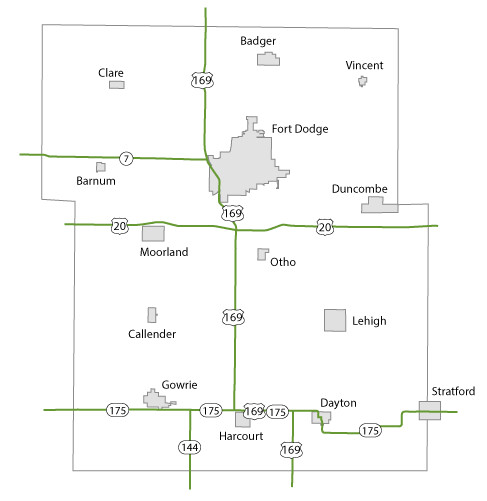
Webster County Maps Topics: County Maps List items for Webster County Maps City and County Maps Webster color map (2.82 MB) .pdf Webster black/white map (2.8 MB) .pdf Webster DGN MapWebster DWG Map City list County list City traffic maps County traffic maps City Maps in Webster County Badger mapBarnum mapCallander mapClare mapDayton mapDuncombe mapFort Dodge mapGowrie mapHarcourt mapLehigh mapMoorland mapOtho mapStratford mapVincent map Federal Functional Classification Maps Webster County FFC map (2.64 MB) .pdf Fort Dodge FFC map (1.74 MB) .pdf Urban area FFC list County FFC list Farm to Market Maps Webster County FM map (1.24 MB) .PDF County FM list Help Get help printing PDFs, and find more city and county map information on the Help with Maps page. Areas Served Webster Secondary Navigation Menu All Counties
Topics: County Maps List items for Webster County Maps City and County Maps Webster color map (2.82 MB) .pdf Webster black/white map (2.8 MB) .pdf Webster DGN MapWebster DWG Map City list County list City traffic maps County traffic maps City Maps in Webster County Badger mapBarnum mapCallander mapClare mapDayton mapDuncombe mapFort Dodge mapGowrie mapHarcourt mapLehigh mapMoorland mapOtho mapStratford mapVincent map Federal Functional Classification Maps Webster County FFC map (2.64 MB) .pdf Fort Dodge FFC map (1.74 MB) .pdf Urban area FFC list County FFC list Farm to Market Maps Webster County FM map (1.24 MB) .PDF County FM list Help Get help printing PDFs, and find more city and county map information on the Help with Maps page. Areas Served Webster Secondary Navigation Menu All Counties
Help Get help printing PDFs, and find more city and county map information on the Help with Maps page.