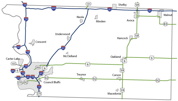
Pottawattamie County Maps Topics: County Maps List items for Pottawattamie County Maps City and County Maps Pottawattamie color map (4.27 MB) Archived .pdf Pottawattamie black/white map (4.22 MB) Archived .pdf Pottawattamie DGN MapPottawattamie DWG Map City list County list City traffic maps County traffic maps City Maps in Pottawattamie County Avoca mapCarson mapCarter Lake mapCouncil Bluffs mapCrescent mapHancock mapMacedonia mapMcClelland mapMinden mapNeola mapOakland mapShelby mapTreynor mapUnderwood mapWalnut map Federal Functional Classification Maps Pottawattamie County FFC map (4.14 MB) .pdf Council Bluffs FFC map (1.94 MB) .pdf Urban area FFC list County FFC list Farm to Market Maps Pottawattamie County FM map (1.87 MB) .PDF County FM list Help Get help printing PDFs, and find more city and county map information on the Help with Maps page. Areas Served Pottawattamie Secondary Navigation Menu All Counties
Topics: County Maps List items for Pottawattamie County Maps City and County Maps Pottawattamie color map (4.27 MB) Archived .pdf Pottawattamie black/white map (4.22 MB) Archived .pdf Pottawattamie DGN MapPottawattamie DWG Map City list County list City traffic maps County traffic maps City Maps in Pottawattamie County Avoca mapCarson mapCarter Lake mapCouncil Bluffs mapCrescent mapHancock mapMacedonia mapMcClelland mapMinden mapNeola mapOakland mapShelby mapTreynor mapUnderwood mapWalnut map Federal Functional Classification Maps Pottawattamie County FFC map (4.14 MB) .pdf Council Bluffs FFC map (1.94 MB) .pdf Urban area FFC list County FFC list Farm to Market Maps Pottawattamie County FM map (1.87 MB) .PDF County FM list Help Get help printing PDFs, and find more city and county map information on the Help with Maps page. Areas Served Pottawattamie Secondary Navigation Menu All Counties
Help Get help printing PDFs, and find more city and county map information on the Help with Maps page.