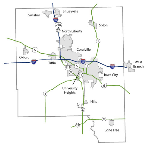
Johnson County Maps Topics: County Maps List items for Johnson County Maps City and County Maps Johnson color map (3.13 MB) Archived .pdf Johnson black/white map (3.13 MB) Archived .pdf Johnson DGN MapJohnson DWG Map City list County list City traffic maps County traffic maps City Maps in Johnson County Coralville mapHills mapIowa City mapLone Tree mapNorth Liberty mapOxford mapShueyville mapSolon mapSwisher mapTiffin mapUniversity Heights mapWest Branch map Federal Functional Classification Maps Johnson County FFC map (3.3 MB) .pdf Iowa City FFC map (68.25 MB) .pdf Urban area FFC list County FFC list Farm to Market Maps Johnson County FM map (1.6 MB) .PDF County FM list Help Get help printing PDFs, and find more city and county map information on the Help with Maps page. Areas Served Johnson Secondary Navigation Menu All Counties
Topics: County Maps List items for Johnson County Maps City and County Maps Johnson color map (3.13 MB) Archived .pdf Johnson black/white map (3.13 MB) Archived .pdf Johnson DGN MapJohnson DWG Map City list County list City traffic maps County traffic maps City Maps in Johnson County Coralville mapHills mapIowa City mapLone Tree mapNorth Liberty mapOxford mapShueyville mapSolon mapSwisher mapTiffin mapUniversity Heights mapWest Branch map Federal Functional Classification Maps Johnson County FFC map (3.3 MB) .pdf Iowa City FFC map (68.25 MB) .pdf Urban area FFC list County FFC list Farm to Market Maps Johnson County FM map (1.6 MB) .PDF County FM list Help Get help printing PDFs, and find more city and county map information on the Help with Maps page. Areas Served Johnson Secondary Navigation Menu All Counties
Help Get help printing PDFs, and find more city and county map information on the Help with Maps page.