The historical maps are in Adobe® Portable Document Format (PDF). In order to view these files, you will need Adobe® Reader®. The larger PDF files can be up to 10 MB in size and may take longer to download on computers with a slower Internet connection.
| Map | Preview |
|---|---|
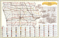
| Previous State Transportation Maps Official State of Iowa Transportation Maps, 1919-present |
|
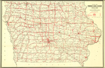
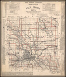
| State Highway Historic Map (6.22 MB) Archived .pdf Iowa registered highway routes, 1914-1925 |
|
| 1986 County Highway and Transportation maps |
|
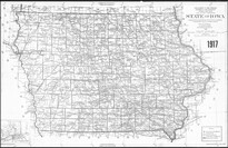
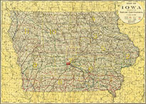
| 1917 State of Iowa Map (6.31 MB) Archived .pdf |
|
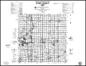
| 1914 County Highway maps Maps are in jpg format, links to Iowa DOT Historical Collections website |
|
| 1902 Iowa Rail Map (38.6 MB) Archived .pdf |
|
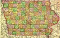
| 1895 State of Iowa Map (989.89 KB) Archived .pdf |
|
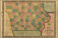
| 1855 Iowa Rail Map (3.32 MB) Archived .pdf |
|
|