
Content Information
On this page...
In October 1990, the Environmental Protection Agency (EPA) approved the Final Storm Water Rule under the National Pollutant Discharge Elimination System (NPDES). Under this rule, qualified projects are required to have storm water discharge permits. The Iowa Department of Natural Resources (DNR) regulates these permits.
This section describes the following two types of storm water permits for construction activities:
- General Permit No. 2.
- Individual Permits.
Templates for the various documents that need to be filled out for the permits are available on the Iowa DOT website.
Back to topQualified Projects
The DNR requires that storm water discharges from certain construction activities which disturb one acre or more of the land be covered under an NPDES permit. Disturbed areas are areas where vegetation, rocks, pavement and other protective ground covers are removed during construction resulting in the exposure of underlying soil. Examples of soil disturbing activities include clearing and grubbing, grading or excavating (i.e. cutting, filling, trenching), stockpiling of soils, demolition, etc. This may include projects like shoulder widening, as well as projects with a larger amount of earthwork. This may also include a number of contracts which are let separately, such as grading, paving, culverts and bridges, or erosion control. In most cases, all of these separate contracts will be covered by the same permit.
An offsite borrow may also require a separate permit if all the following apply:
Borrow is not contiguous to the project limits.
Borrow is 1 acre or larger.
Borrow is drainable.
Borrow is not covered by an existing permit.
If a project has an offsite borrow that meets the above criteria, contact the Office of Construction to determine whether a separate Notice of Intent (NOI) is required.
Back to topPermits
Most projects will be able to obtain permit coverage under NPDES General Permit No. 2. However, if the project is located in an Outstanding Iowa Waters (OIW) watershed, the project is required to be permitted under an individual NPDES permit. Iowa DOT staff may use the Highway Division GIS Portal to determine whether a project site is in an OIW watershed. The OIW watershed layer is under Boundary and Reference è Watersheds è Outstanding Iowa Waters Watersheds.
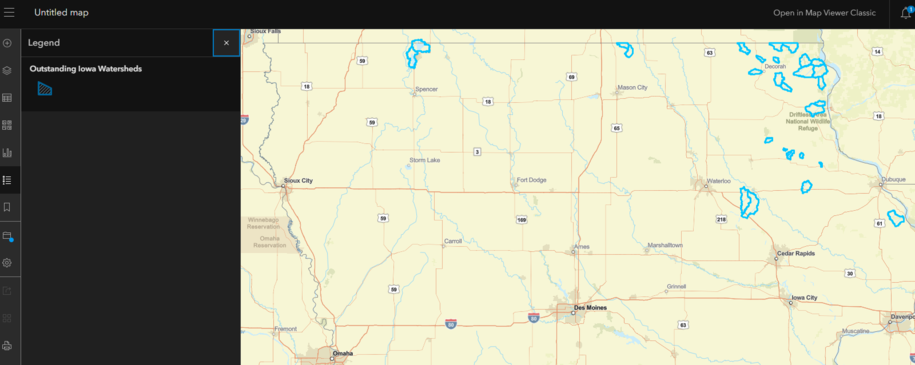
A Microstation reference file (OIW.dgn) with OIW watersheds is included in the OrigFiles folder located inside the SeedFiles folder. This file is available for both Iowa DOT staff and consultants to use.
Back to topNPDES General Permit No. 2
If a project is not located in any of the OIW watersheds, it will be covered under NPDES General Permit No. 2.
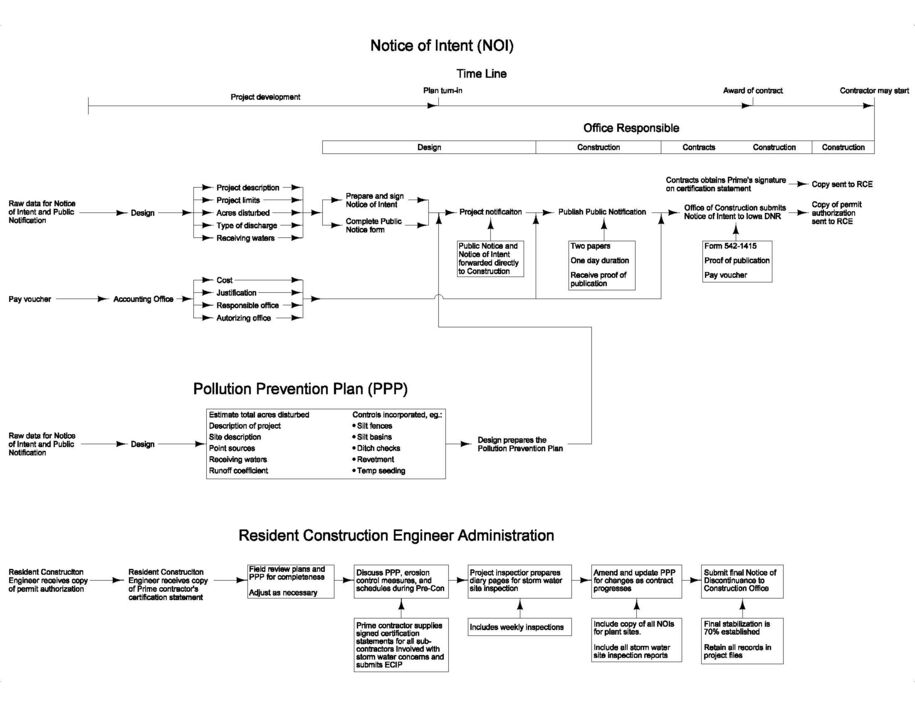
The storm water discharge permitting process is shown in the Permit Flowchart. Each storm water discharge permit application will have 3 parts:
Notice of Intent (NOI) for Storm Water Discharges Associated with Industrial Activity for Construction Activities.
Public Notice of Storm Water Discharge (fill out the Public Notice Template).
PPP.
Electronic versions of the NOI and Public Notice permit forms are available on the Iowa DOT website. These are placed in the Docs folder within the Design folder in the project directory (Districts should place these in their District Design folders). Completed NOI (with signature) and Public Notice permit forms are turned in to the Office of Construction at the Methods turn-in unless the project is in an OIW, in which case the forms are turned in a month earlier. The PPP is included in the plans.
Back to topNotice of Intent (NOI)
The Notice of Intent for Storm Water Discharges Associated with Industrial Activity for Construction Activities (General Permit No. 2) is the application to the DNR. It allows the DNR to monitor all the work being done in Iowa. Multiple contracts in a corridor, even if let separately and at different times, may be combined under one permit. If combined, only one NOI form (covering the total area of disturbed soil) will need to be completed for the area. For multiple projects in a corridor, the NOI is typically submitted with the grading project, and the other projects are covered under that NOI. For tied projects where limits are overlapping or contiguous, designers should coordinate so only one NOI is prepared and submitted. A sample NOI is included with the Enhanced Public Notice and Notice of Intent Forms and demonstrates the information to be filled in by the Office of Design (or consultant) and the Office of Construction.
Public Notice and Notice of Intent forms
Refer to the PPP section that follows for information on site description and receiving waters. The facility location should list at least the beginning and ending sections, townships, and ranges for the area covered. Include a description from the production schedule or from the A.01 sheet of the plans. Use the letting date from the most current production schedule for the beginning date of the Estimated Timetable for Activities. Activities would include grading, paving, final seeding, etc.
The NOI should be signed by the engineer who is in overall charge of the project’s design. For in-house plans, the Design Projects Engineer signs the NOI. For projects designed by consultants, the engineer designated by the consulting firm as being in responsible charge of the design signs the NOI. The Iowa DOT Project Manager or the Office of Construction will then sign the copy submitted to the DNR.
Back to topPublic Notice of Storm Water Discharge
The Public Notice of Storm Water Discharge will be published in 1 newspaper for 1 day prior to starting work on the project. The publication of this public notice will be handled by the Construction and Materials Bureau. Only one Public Notice form will be completed for each project or corridor even though several contracts may be let within the permit limits. For multiple contracts in a corridor, the Public Notice is typically prepared with the grading project, and the other projects are covered under that Public Notice. For tied projects where limits are overlapping or contiguous, designers should coordinate so only one Public Notice is prepared and submitted. A sample Public Notice Template is included with the Enhanced Public Notice and Notice of Intent Forms.
The number of discharge point sources is all points where a concentrated flow of water leaves the right-of-way within the permit limits (such as rivers, streams, waterways, or sideroad ditches).
Public Notice and Notice of Intent forms
Back to topIndividual Permits
Individual permits require three forms to be completed by the engineer and submitted to the Construction and Materials Bureau along with a link to a pdf of a complete set of current plans. Plan sets should include all sheets containing erosion control tabulations, e.g. A, C, D, E, and K (if any) sheets and any relevant Bridges & Structures sheets. Only one Individual permit will be completed for each corridor even though several contracts may be let within the permit limits. For multiple contracts in a corridor, the Individual permit application forms are typically prepared with the grading project, and the other projects are covered under that permit. For tied projects where limits are overlapping or contiguous, designers should coordinate so only one set of application forms are prepared and submitted. Designers should include Standard Note 281-2 for Individual Storm Water Permit. The note is included in the calc file for the C sheets.
In order for the DOT to receive the final permit from the DNR before a project is posted for letting, these forms must be submitted to the Office of Construction no later than 30 days before Methods Turn-in. Individual permits require a 45 day public comment period before the DNR issues a final permit.
The DSW1 event in Project Scheduling System is associated with turn in for individual permits. If a project is located within 2 miles of an OIW, add a DSW1 event date to PSS. The date is set for 120 days prior to Contracts letting. If, as the project evolves, it becomes clear the project will not affect an OIW, the DSW1 event date should be filled in as being completed and a note added that an individual storm water permit is not required.
The following are instructions on the project specific information to include on the partially-filled in forms:
- Form 1 for Industrial Facilities: General Information form (DNR Form 542-1376).
Page 1
Facility Information: Fill in project site location
Facility Location: Fill in County, Section, Township, Range and latitude/longitude (use approximate center of project).
Page 2
Nature of Business: Provide description of work, e.g. reconstruction of four lane road.
Form 2F for Industrial Facilities: Facilities discharging storm water associated with industrial activity (DNR Form 542-1380).
Page 1
Outfall location:
D: “Numerous outfalls – refer to PPP” and list receiving waters that are on PPP
Site Drainage Map: Provide plan sheets that have PPP information (to determine these, check with Construction and Materials Bureau).
Page 2
Significant Leaks or Spills: None – unless locations are known.
Form 5 Certification for Industrial Facilities: Certification (DNR Form 542-1382).
Page 1
Mark boxes 1, 2F, and 5
Fill in and sign Certification 1
Page 2
Fill in and sign Certification 2
Form 5 should be signed by the engineer who is in overall charge of the project’s design. For in-house plans, the Design Projects Engineer signs Form 5. For projects designed by consultants, the engineer designated by the consulting firm as being in responsible charge of the design signs Form 5. The Iowa DOT Project Manager or the Construction and Materials Bureau will then sign the copy submitted to the DNR.
Form 1 for Industrial Facilities (DNR Form 542-1376)
Form 2F for Industrial Facilities (DNR Form 542-1380)
Form 5 Certification for Industrial Facilities (DNR Form 542-1382)
Back to topPollution Prevention Plan (PPP)
All projects that disturb one acre or more require a PPP. All projects requiring a PPP must show drainage patterns. For projects such as shoulder widening, shoulder strengthening, guardrail blisters, etc., as-builts can be included as U sheets to show drainage patterns.
Because the PPP must be on the project work site at all times, it will be in the plans. For situations involving a corridor wide permit, all individually let projects within that corridor, even those disturbing less than 1 acre, should include a PPP.
For tied projects where limits are overlapping or contiguous, designers have two options:
Include the PPP in the project plans that involves the most earth disturbance. Prepare the PPP to cover all projects. Include a note in the remaining project plans stating the PPP is included in the project plans for XXXXX.
Include a PPP in all project plans.
Additionally for tied projects, bid items for Mobilization, Erosion Control and Emergency Mobilization, Erosion Control are included in the project that involves the most earth disturbance. They are not included in the other tied projects.
The PPP for each contract within the permit’s limits will show the disturbed area for the entire permit area, but should be revised to show the disturbed area for the individual contract. Any questions concerning PPPs may be directed to the Design Bureau’s Methods Engineer or the Construction and Materials Bureau’s Earthwork Engineer.
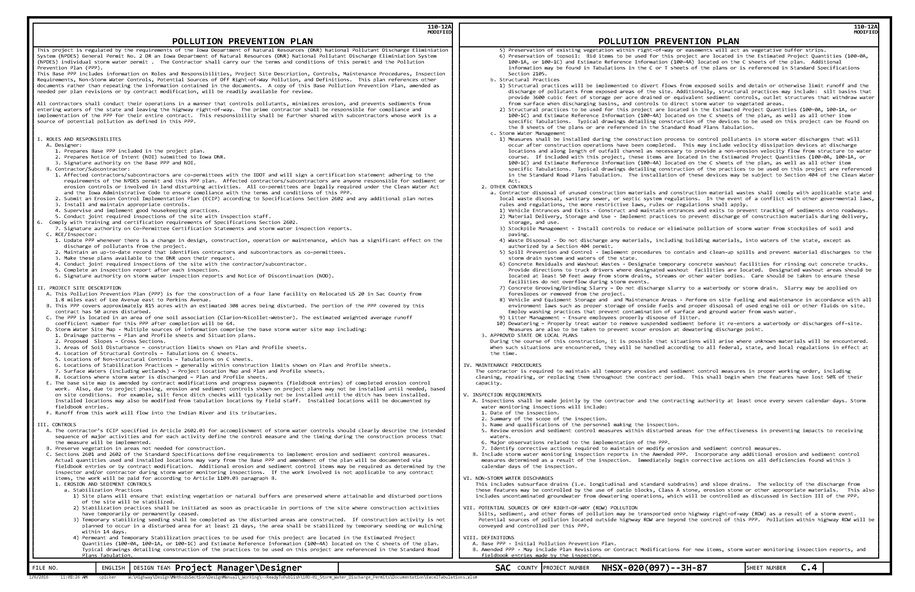
The PPP is located in Tabulations 110-12 and 110-12L. These are available at the Design Tabulation website or on the Iowa DOT website . Tabulation 110-12L is for use by local public agencies only.
Much of the information in the PPP is routine and is shown in the sample PPP. The PPP Review List outlines information in the PPP, lists documents the PPP references, and lists what parts of General Permit No. 2 the PPP addresses.
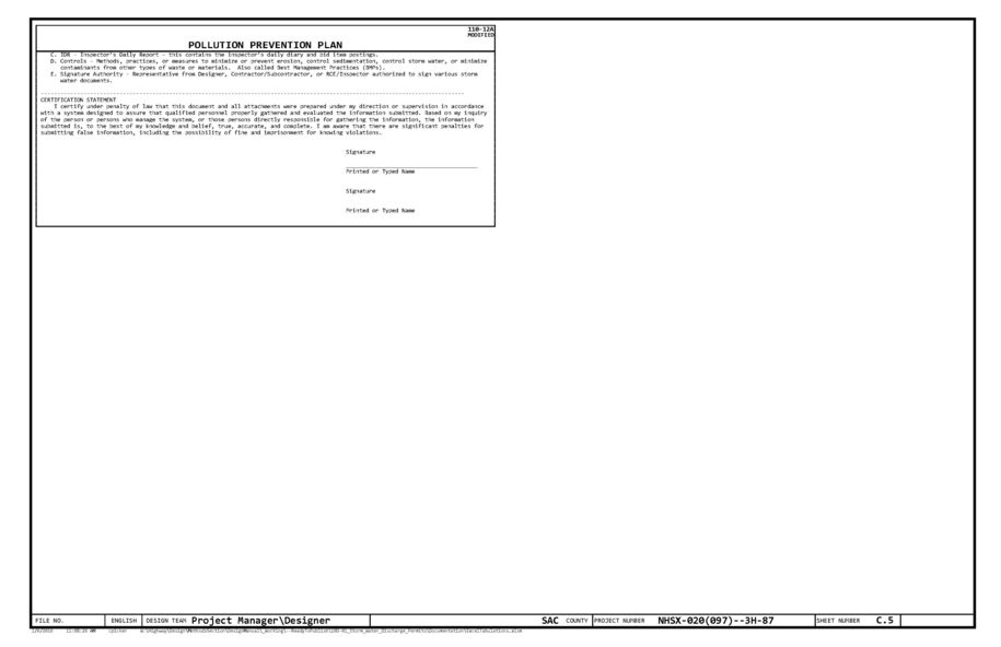
The DNR requires the PPP to be signed and a certification statement included. This signature covers the base PPP. The DOT has determined that the Engineer of record should sign the PPP. For projects completed by consultants or local agencies, a representative of the Department (typically the project manager) must also sign the PPP; therefore, two signature lines are provided on the PPP.
The following information identifies the specific information which the designer must determine.
Back to topProject Site Description
The project site description should be very general to cover any extra work orders which may change the scope of work done.
Both the total acres and the disturbed acres need to be calculated. The total acres is calculated by multiplying the average right-of-way (ROW) width by the length of the permit limits plus any extra acres for interchanges or on-site borrows areas. For those contracts let separately, the designer must include the acres of all the contracts in the permit limits.
For example, the total acres and disturbed acres on the Pella bypass project, which was located in northern Marion County near the Mahaska County line, were:
total acres = (average ROW width × length of permit limits) + interchange areas
= (350′ × 30,256′) + (2000′ × 800′)(2.5 interchanges)
= 337 acres
disturbed acres = area of new pavement + area of new granular shoulders + area to be seeded
= 42 acres + 25 acres + 255 acres
= 322 acres
Back to topLocation of Storm Water Site Map Information
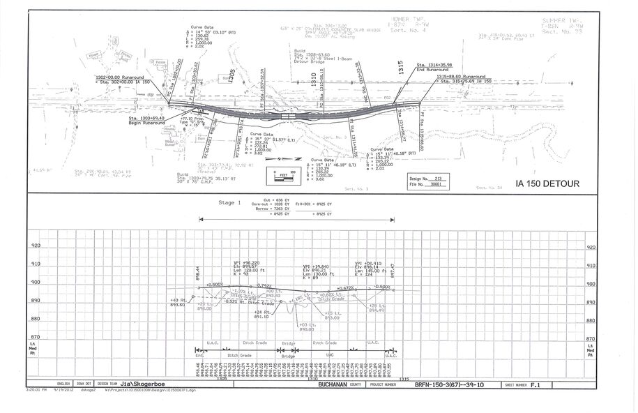
Part of the PPP is the reference or inclusion of plans which show locations of typical slopes, ditch grades, and drainage patterns. These items are usually found on the plan and profile sheets of the project.
Some projects will not have plan and profile sheets. Instead, these plans should be clearly noted as a reference in the PPP. For example, on an Erosion Control project, the PPP should include a statement such as “Refer to the Grading and Paving Plans (include project numbers) that are on file at the project engineer’s office for storm water site map information.” For projects that do not include plan and profile sheets, include as-built sheets of the grading project in the U sheets for information only.
Back to topReceiving Waterways
The first named waterway and the first named river which will be receiving runoff from the permit area need to be identified. These waterways may be found on large-size county maps or United States Geological Survey maps.
Back to topSoil Associations
The soil association for the permit area must be determined. The Iowa Soil Regions Map gives the soil associations for Iowa. If the permit area is on the borderline between two soil associations, list both associations.
Once the soil associations are determined, use Table 1 to determine the hydrologic soil groups.
Table 1: Soil Association Hydrologic Groups
If a project is located along two hydrologic groups, an average hydrologic group must be estimated. For example, a project is located in two soil associations (15 and 16) on the Iowa Soil Regions Map. Table 1 gives the following soil associations and hydrologic groups:
Use estimated Hydrologic Soil Group C.
Back to topRunoff Coefficient Number
The estimated average runoff coefficient number for the entire permit area after completion is determined by using Table 2 and the average hydrologic soil group to get a weighted average based on various surface covers (paved surfaces, granular surfaces, etc.).
Table 2: Runoff Coefficient Numbers
For example, a project located in an area with hydrologic group C soil has 253 total acres: 30 acres of paving, 18 acres of granular surfaces, and the rest in rural seeding. This gives the following percentages:
paved surfaces → = 12%
granular surfaces → = 7%
grass surfaces → 100% - 12% - 7% = 81%
To calculate the average runoff coefficient number, multiply each percentage by the runoff coefficient number from Table 2 for hydrologic group C.
paved surfaces → 0.12 × 0.85 = 0.102
granular surfaces → 0.07 × 0.40 = 0.028
grass surfaces → 0.81 × 0.30 = 0.243
Average runoff coefficient number = 0.373 ≈ 0.37
The calc files contain a work area that will perform these calculations.
Back to top
Permit Flowchart
Back to top
Filling out a Notice of Intent
The information for the public notice could be taken from the Notice of Intent. The only one piece of information that needs to be found is “the number of point sources”. Point source is defined as the location where the water is leaving the project.
County: Write the name of the county.
DOT Project(s): Write the project number(s).
Letting Date: Write the letting date.
Date Sent: Leave this blank.
For Newspapers: Leave this blank.
PUBLIC NOTICE
First paragraph is the same. Second paragraph should have the route number, the county name, the description of the work, and the location of the project. (from NOI)
The third paragraph is the same with FACILITY LOCATION OR LOCATION OF CONSTRUCTION SITE (NOI)
The fourth paragraph should have the number of point sources and receiving waters. (from NOI)
The fifth paragraph is the same.
Back to top
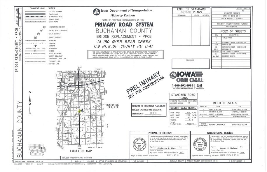
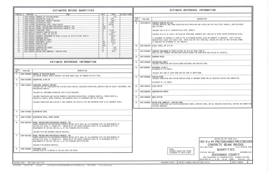
Sample Plan Sheets
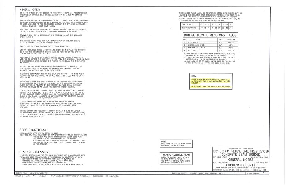
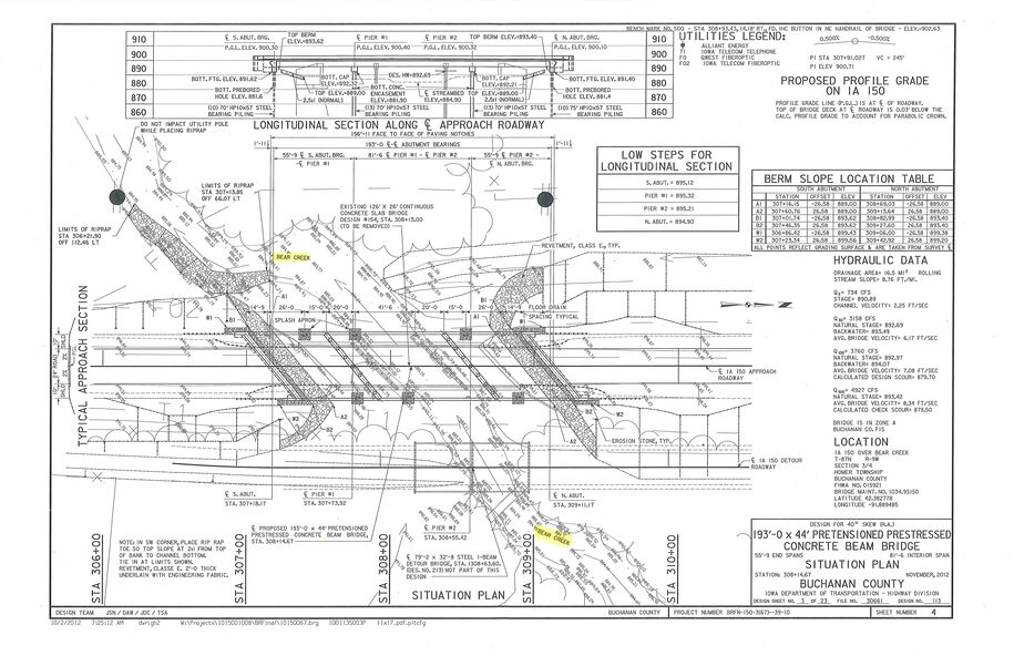
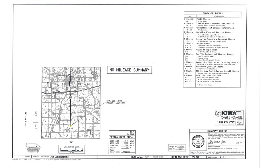
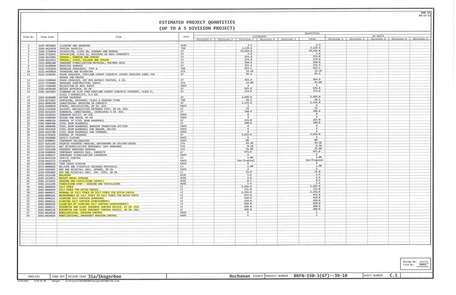
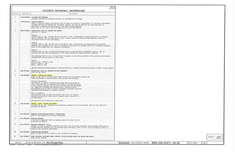
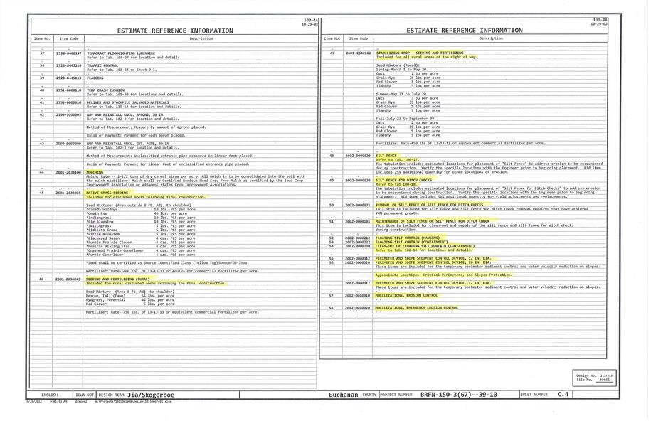
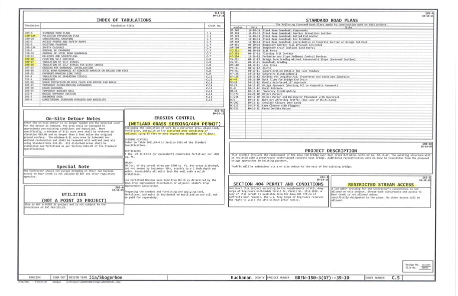
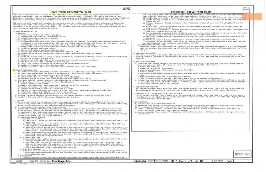
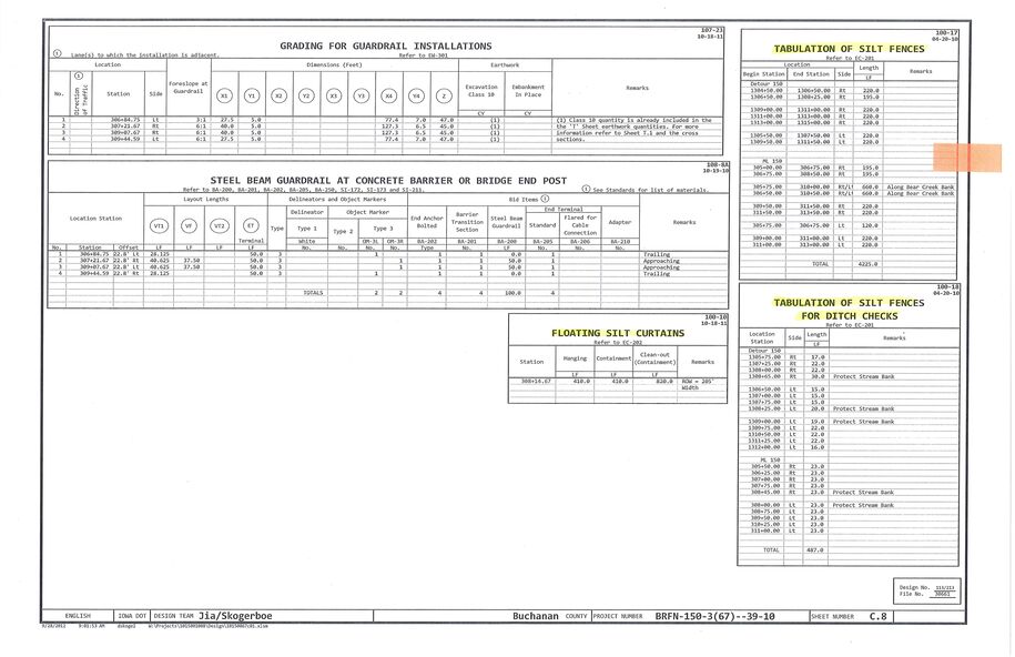
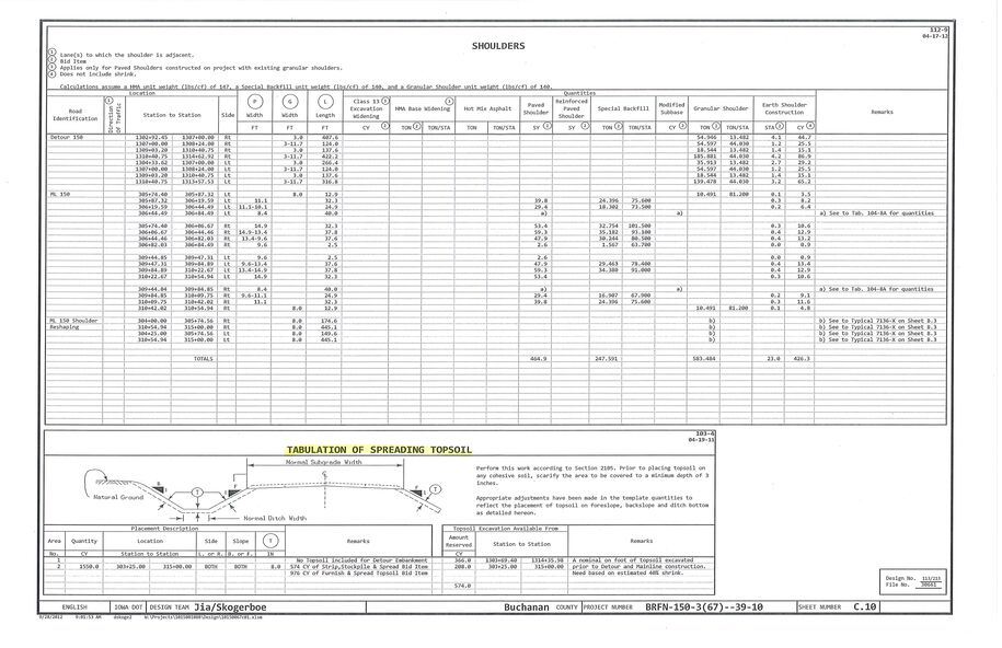
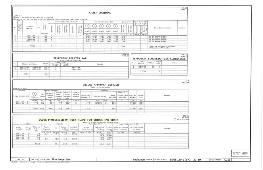
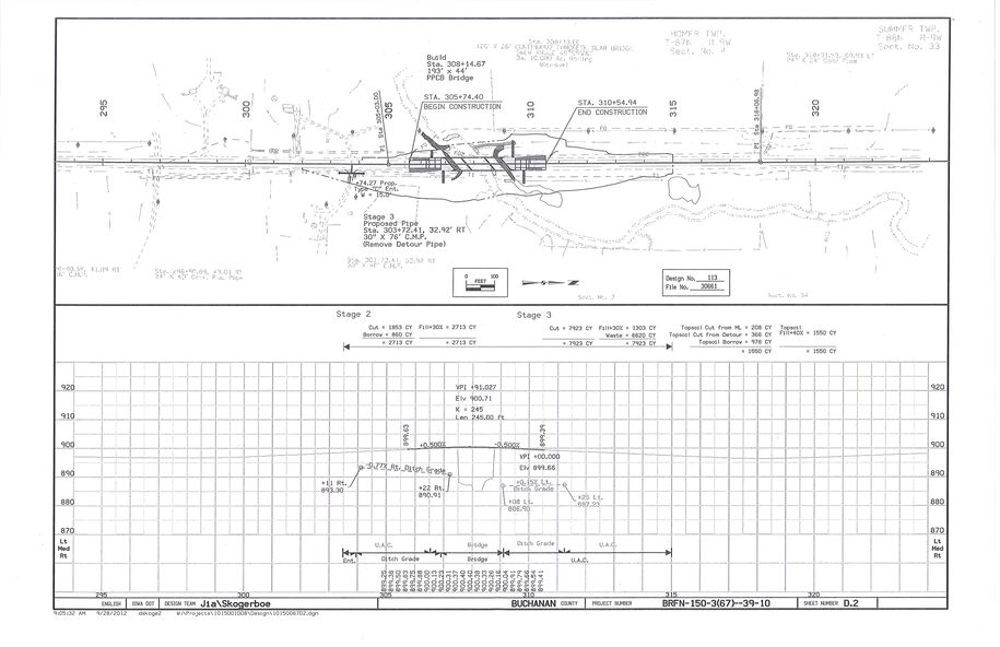
Back to top
Sample PPP
Back to top
PPP Review List
Back to top